Welcome, Autel Pilots!
Join our free Autel drone community today!
Join Us

Wing, AirMap and Kittyhawk show network drone ID solution

So only commercial drones get slapped with a remote ID? So you are a hobbyist flying you get to go scot free, but if you are a commercial pilot you get headaches from paranoid people calling the police and reporting you for doing your job, just because you "spied on them"?

I wonder who comes up with these great ideas...
The way I took that was that if you went through LAANC then they would be able to see you. So essentially it would be both commercial and recreational except if you were flying somewhere where you didn't need to go through LAANC. I could be totally wrong.
 
  • Like
Reactions: Ansia
It would have to go through LAANC requests since there are no drones in use that have aviation transponders on them beaming out their aircraft ID like commercial airliners. The thing is, LAANC is only for approval to fly in areas of restricted/controlled airspace. So a vast portion of our country is not even requiring permission. That means LAANC would have to be expanded to the entire country until transponder ID is fitted to every >0.55 lb drone being sold in the future. It would be impossible to retrofit the existing drones with transmitted ID gear. What would that mean? Banishing all older drones from airspace.

Even with a transponder on a drone, you now need a countrywide network of antenna towers to receive that ID and relay it to the agencies and public. Or I guess they could equip the drones with a SIM card to transmit through the cell phone network. But many areas have no cell coverage.

I think those guys in the video must live in states that have legalized pot because they definitely aren't seeing the big picture on an idea like that.

BTW, when you look at the AirMap display, those LAANC approvals that were submitted and checked the Box "Make my Flight Public" do show up on the North American map. 99% of people submitting a request aren't checking that box! Duh! So it appears there are only a handful of flights happening around the states and at night they all disappear off the maps.
This is probably how it will work.
 
I didn't look. I was just saying maybe this was the intended platform for Wing to work.
 
AirMap provided an announcement on Sept. 18 with an article containing the attached diagram on how at least the initial phase of Remote ID on drones will work. They did a live Demo in Silicon Valley and in Switzerland.
As you can see, the Sport/Recreational drone pilot, being non-commercial is not in the picture, literally. So the full launch would only be for identifying commercial drones. There are all kinds of flaws in their logic.

• Commercial Drones will need to have a flight plan filed on record for every flight anywhere in the USA. If you are not a registered drone with a registered flight plan you are invisible to the system.
• This program is not a Radar Tracking monitor system so a drone with a filed flight plan will be represented as being in a general area from start to finish with no way of knowing the exact position of the drone at any given moment in time for a distance of perhaps many miles. Think about that and how accurate it will be with a dozen commercial drones criss-crossing that same common area at the same time.
• Commercial Drones for the most part are going to adhere to the letter of the laws when it comes to operating in public air space and therefore are highly unlikely to be breaking the rules, endangering the public, or engaged in other hazardous actions. This control approach is like preaching to the choir.
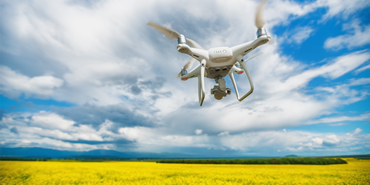
• The concept of pulling out your cell phone, launching the ID app with your location on, pointing at a drone flying by at 45 miles per hour at 400 feet altitude against a bright sky to get the ID is completely laughable. Like trying to photograph the license plate of a red light runner with your cell phone starting in your pocket with you being 5 blocks away. Reaction time of the app user vs the speed at which commercial drones will be doing their business as they go by makes this approach a failure from the start unless the drone is equipped with an actual TRANSPONDER. (Phase II?)
• The concerns about public safety, illegal or suspicious activities, public nuisance, and invasion of privacy to name a few are most frequently related to sport/recreational drones and pilots - a group that is not even recognized in this new ID program. So probably 90% of drone "concerns" will be associated with non-registered, non-participating drones and pilots who are not in the database and therefore increases the RISK of Mistaken Identity bringing up an actual innocent commercial drone in the same area. FAA knows there isn't a computer big enough to handle every sport drone flight every minute of the day & night across all of America. The equivalent of the national airspace traffic controllers computer X100 or X1000. Not to mention only getting a fraction of the sport pilots to comply with such complications just for a spin around the neighborhood after dinner.

Government Bureaucracy at its finest. Government employees should be required to take a drug screening test before writing up this stuff. ?

airmap_interuss_astm_remote_id_diagram.jpg

Remote ID Readiness Live Demo Article
 

Latest threads

Members online

Forum statistics

Threads
11,227
Messages
102,646
Members
9,818
Latest member
redwingaerials