Detritalgeo
Well-Known Member
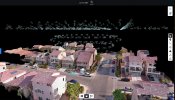
I have seen quite a few GIS hobbyists using video from an orbit and extracting the video frames as inputs into the Structure from Motion photogrammetry solutions. WebODM is a fantastic tool for experimentation if you have a decent computer. obviously video frames do not compare to proper still photos but can be useful in a pinch.