So, on my quest to dig more into this.... I finally decided to fire up an old network analysis box I had that has Wireshark running on it and a wifi adapter that 'plays nice' with 'things regular people shouldn't do with wifi'.
")
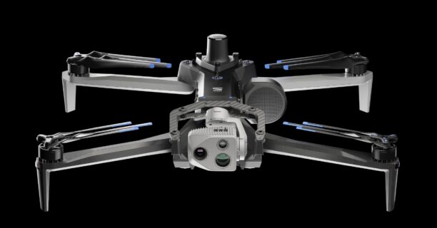
I can actually trace out the OPENDRONEID packets from my Autel Evo Max (haven't looked at the 640t yet, i'll do that tomorrow) and I see it's sending the packets and a bunch of the data is 'correct' for the most part. So I'm not 100% sure why various apps choke on it.
Some stuff is wrong, like Altitude is showing 2000' AGL which sitting in my office with 17 satellites the drone is neither 'any meaningful AGL' nor is it MSL, cuz my MSL here is about 310'.
here's a dump of what I captured, with some info munged (like my actual lat/long, and radio ID munged with XX or NN's).
Open Drone ID
Message Counter: 101 (0x65)
Open Drone ID - Message Pack (15)
1111 .... = Message Type: Message Pack (15)
.... 0000 = Protocol Version: F3411-19 (1.0) (0)
MessagePack: Message Size: 25
MessagePack: Message Quantity: 7
Open Drone ID - Basic ID Message (0)
0000 .... = Message Type: Basic ID (0)
.... 0010 = Protocol Version: F3411-22 (2.0) (2)
0001 .... = ID Type: Serial Number (ANSI/CTA-2063-A) (1)
.... 0010 = UA Type: Helicopter (or Multirotor) (2)
ID: 1748FEV3XXXXXXX817XX
Reserved: 00 00 00
Open Drone ID - Basic ID Message (0)
0000 .... = Message Type: Basic ID (0)
.... 0010 = Protocol Version: F3411-22 (2.0) (2)
0010 .... = ID Type: CAA Assigned Registration ID (2)
.... 0010 = UA Type: Helicopter (or Multirotor) (2)
ID: 1748FEV3XXXXXXX817XX
Reserved: 00 00 00
Open Drone ID - Location/Vector Message (1)
0001 .... = Message Type: Location/Vector (1)
.... 0010 = Protocol Version: F3411-22 (2.0) (2)
0001 .... = Operational Status: On Ground (1)
.... .0.. = Height Type: Above Takeoff (0)
.... ..1. = East/West Direction Segment: West (>=180) (1)
.... ...0 = Speed Multiplier: 0.25 (0)
Direction: 79
Speed: 0
Vert Speed: 0
UA Lattitude: 41NNNN541
UA Longitude: -71NNNN393
UA Pressure Altitude: 2216
UA Geodetic Altitude: 2000
UA Height AGL: 2000
.... 1011 = Horizontal Accuracy: <3 m (11)
0101 .... = Vertical Accuracy: <3 m (5)
0011 .... = Baro Accuracy: <25 m (3)
.... 0101 = Speed Accuracy: Reserved (5)
Timestamp (1/10s since the hour): 21307 (lag: 0.6s)
0000 .... = Reserved: Unknown (0)
.... 0101 = Timestamp Accuracy (1/10s): 5
Reserved: 00
Open Drone ID - Authentication Message (2)
0010 .... = Message Type: Authentication (2)
.... 0010 = Protocol Version: F3411-22 (2.0) (2)
0001 .... = Auth Type: UAS ID Signature (1)
.... 0000 = Page Number: 0
Last Page Index: 0
Length: 17
Time Stamp: 165296131
Auth Data: 00 8e 58 XX a7 7e 0c XX eb 8a 48 XX d8 00 00 00 00
Open Drone ID - Self-ID Message (3)
0011 .... = Message Type: Self ID (3)
.... 0010 = Protocol Version: F3411-22 (2.0) (2)
Self Description Type: Text Description (0)
Self Description: unset
Open Drone ID - System Message (4)
0100 .... = Message Type: System (4)
.... 0010 = Protocol Version: F3411-22 (2.0) (2)
.... 00.. = Classification Type: Undeclared (0)
.... ..00 = Operator Location Type: Take Off (0)
Operator Lattitude: 0
Operator Longitude: 0
Area Count: 1
Area Radius: 0
Area Ceiling: 2000
Area Floor: 2000
UA Classification: 0x00
Operator Geodetic Alt: 0
Message Timestamp: 0 (lag: 1711596931s)
Reserved: 00
Open Drone ID - Operator ID Message (5)
0101 .... = Message Type: Operator ID (5)
.... 0010 = Protocol Version: F3411-22 (2.0) (2)
Operator ID Type: Unknown (2)
Operator ID:
Reserved: 00 00 00


 dronelife.com


